Aarhus University logo
About us
Vision and Mission
Staff, Associates, and Guests
Research
Research areas
Our projects
Our publications
Our data
Collaboration
News and events
News
Events
Vacancies
Contact us
You are here:
Research
Our projects
Ph.D. Projects
Our projects
Projects we are participating in
Postdoctoral research
Ph.D. Projects
Ongoing Ph.D. Projects
Past Ph.D. Project
Ph.D. Projects
Here you can find our past and ongoing P.h.D students projects.
Ongoing Ph.D. Projects
Past Ph.D. Projects
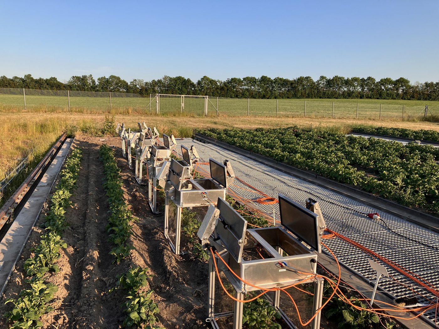
Photo: Lars Norge Andreassen
Revised 16.02.2026
-
Favour Modupe Ayedun